Looking at old maps, it is possible to identify an old road which no longer runs into Rosemarket. This is marked on a Tithe map dated 1779 and is shown as late as 1885, but disappears in later maps as it fell into disuse.
The road section starts from beyond Norton farm and runs along a field boundary and then through what is now the sewerage works before joining Norton Hill Road into Rosemarket.
A map prior to the construction of the railway showing the road running directly into Rosemarket (highlighted in yellow).
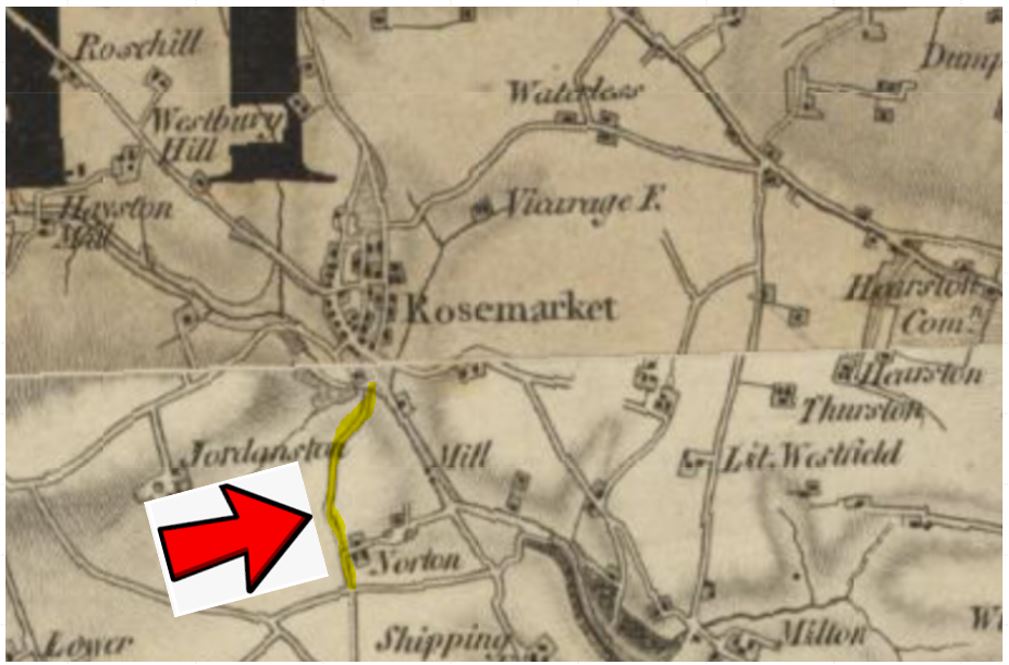
This map is reproduced with the permission of the National Library of Scotland
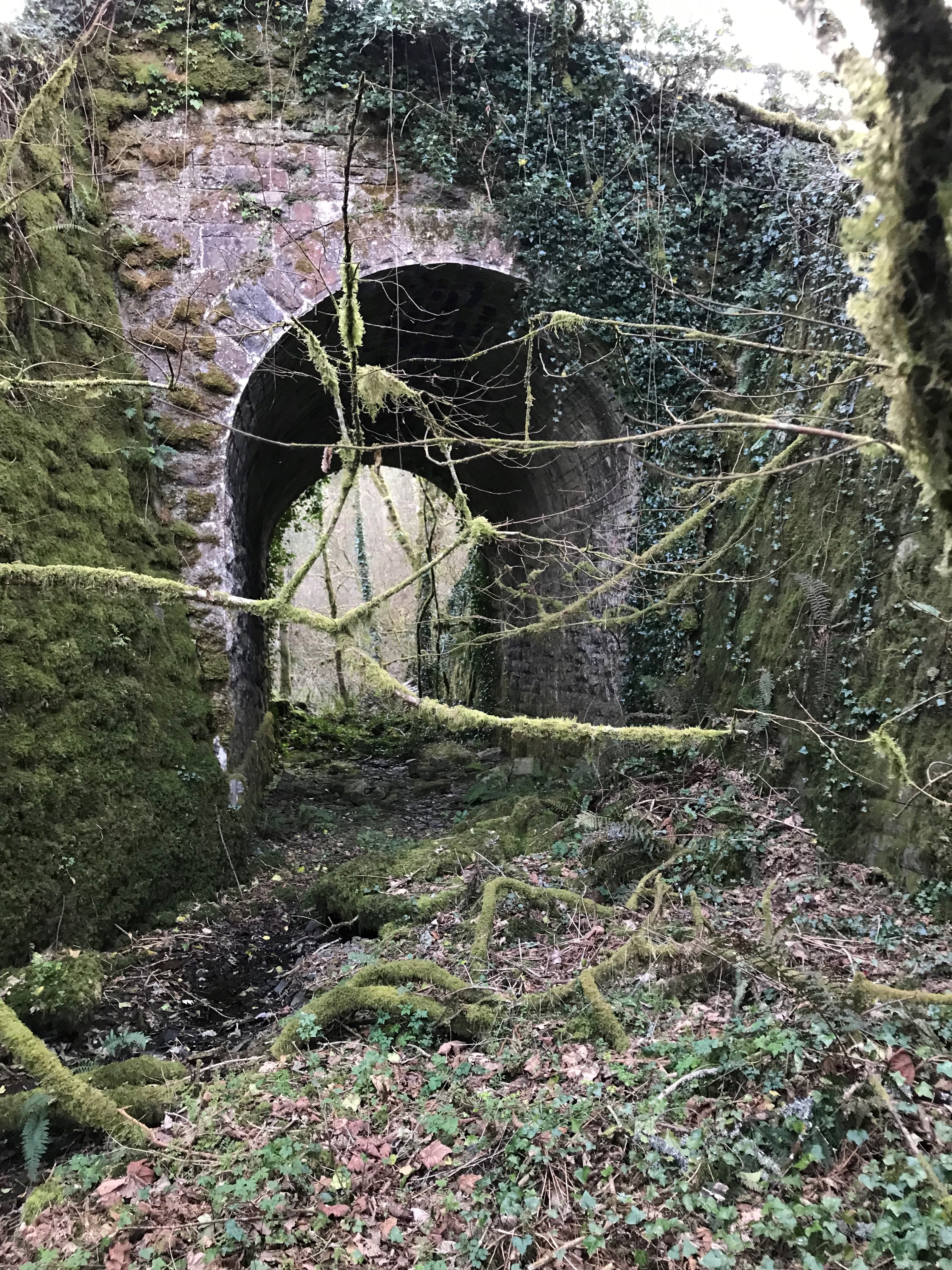
Sometime on or after the railway was built in 1856, the road became disused for traffic despite the inclusion of a bridge through the railway embankment into Rosemarket. It is not known exactly when this happened.
A map showing the road after the construction of the railway.
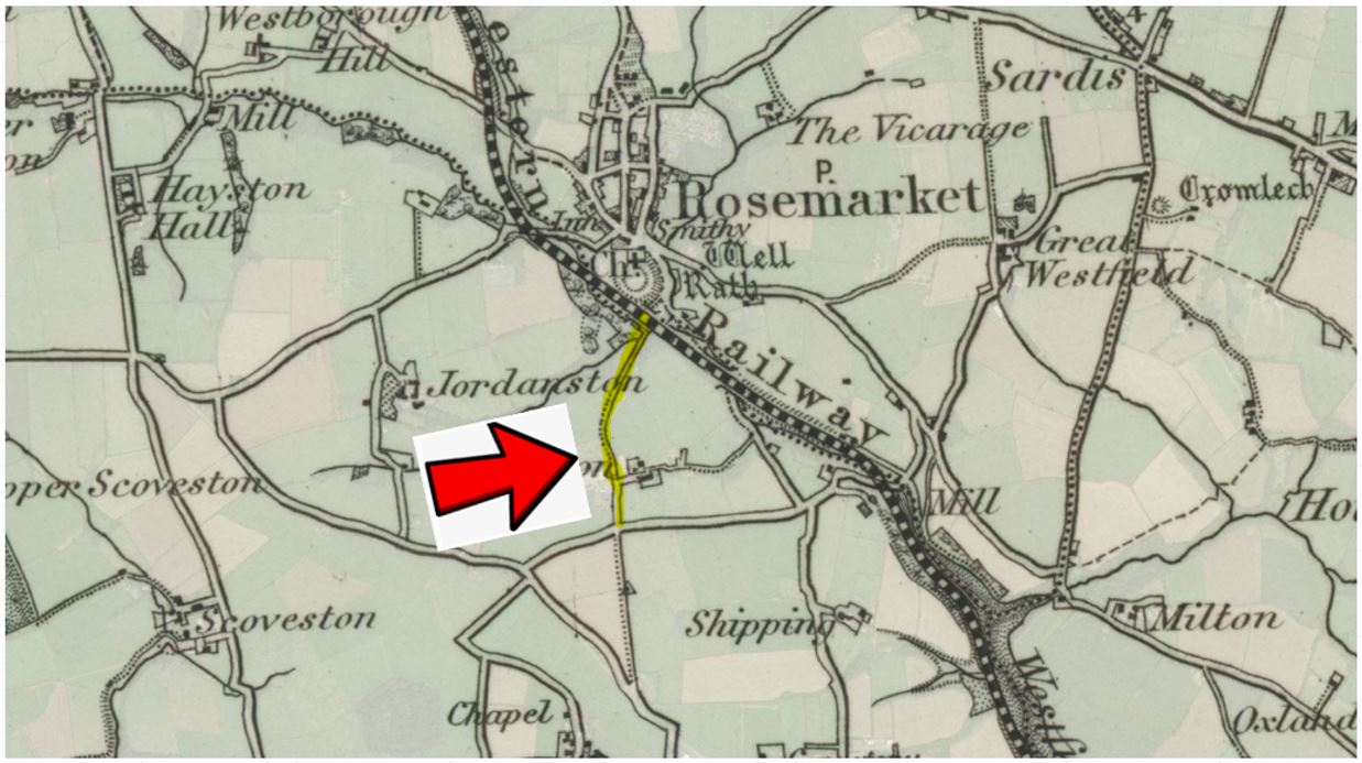
This map is reproduced with the permission of the National Library of Scotland
The location of the road can also be identified today on LIDAR maps. LIDAR is produced by lasers being bounced off the ground by an aircraft which often removes covering vegetation allowing the land underneath to be viewed more clearly.

Reproduced under Open Government licence. https://www.nationalarchives.gov.uk/doc/open-government-licence/version/3/
Before the construction of the railway, there was a bridge where the road crossed a stream before entering Rosemarket. This appears on the 1779 Tithe map. The map has faded badly over time, but the road is shown and labelled as "Road from Neyland". The Bridge is drawn and labelled at the bottom of the following part of the map.
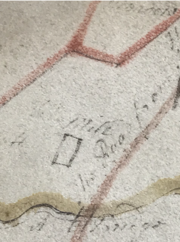
Tithe map from 1779
Sections of the old road are still identifiable. Some of these sections are a “sunken road”.
Sunken roads suggest that it may have been used for thousands of years, with the traffic loosening the surface of the road which was then washed away by rain. As the route of the road takes it to the bases of both an old hill fort and a promontory fort, it is very likely to be ancient.
The sunken road with banks around 10 feet high in places.

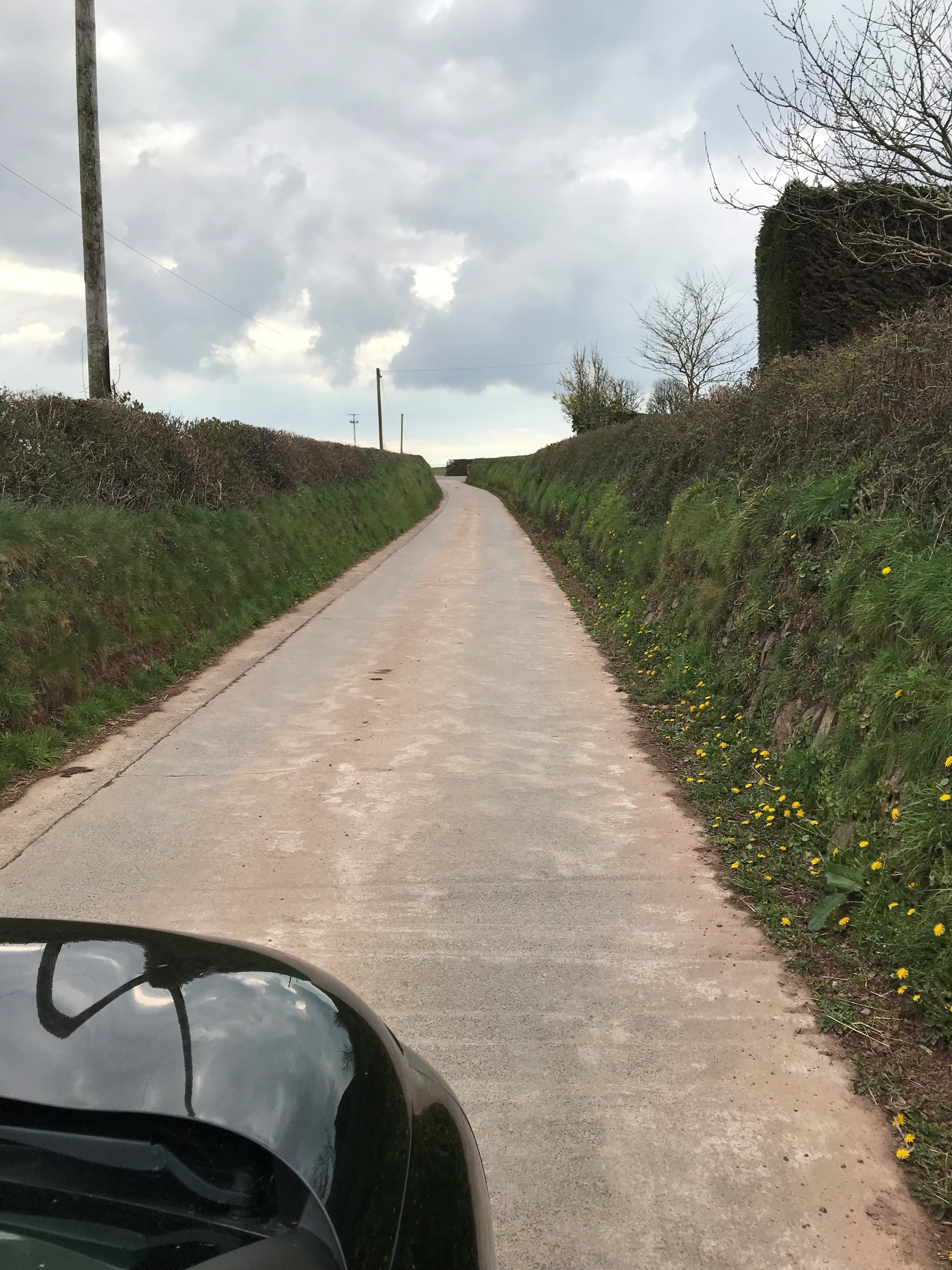
The section of road still in use today leading from Norton farm heading south.
There is a section today where the road is not easily visible. This is where it follows the field boundary. This part was probably “sunken”, and was likely to have been filled in by the farmer when the road was no longer used, with the section being returned to agricultural use.
Route of the old road with Norton farm in the distant background.

A photo of the bridge within the railway embankment is below. The old road would have gone through this bridge into Rosemarket after its construction. It is known locally as “Cow bridge” or "Cow Arch". In more recent times it was known to have been used to move cattle to Rosemarket from Norton farm. The final section of road into Rosemarket is now blocked after the construction of the sewerage works.