Rosemarket Rath is likely to be an Iron Age fort (800 BC to 43AD) that is located behind St Ismael’s Church.
It has an oval enclosure, ranging from 130m to 97m in width and is located on a high plateau above the confluence of two streams.
It consists of a double bank and ditches and although it is likely to have been an Iron Age fort, it may have been reused as a castle during the medieval period. The digging of a trench in 1975 to lay a pipe showed that St Ismael’s churchyard may overlay a part of the outer ditch defences.
It is likely to have been occupied for some of its history at the same time as the promontory fort (located on the edge of Rosemarket).
Aerial photographs show the location of buildings through parch marks.
Map showing the location of the Rath
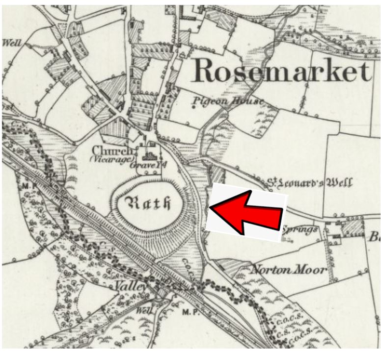
This map is reproduced with the permission of the National Library of Scotland
A LIDAR Image showing the remains of the banks and ditches
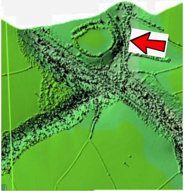
Reproduced under Open Government licence. https://www.nationalarchives.gov.uk/doc/open-government-licence/version/3/
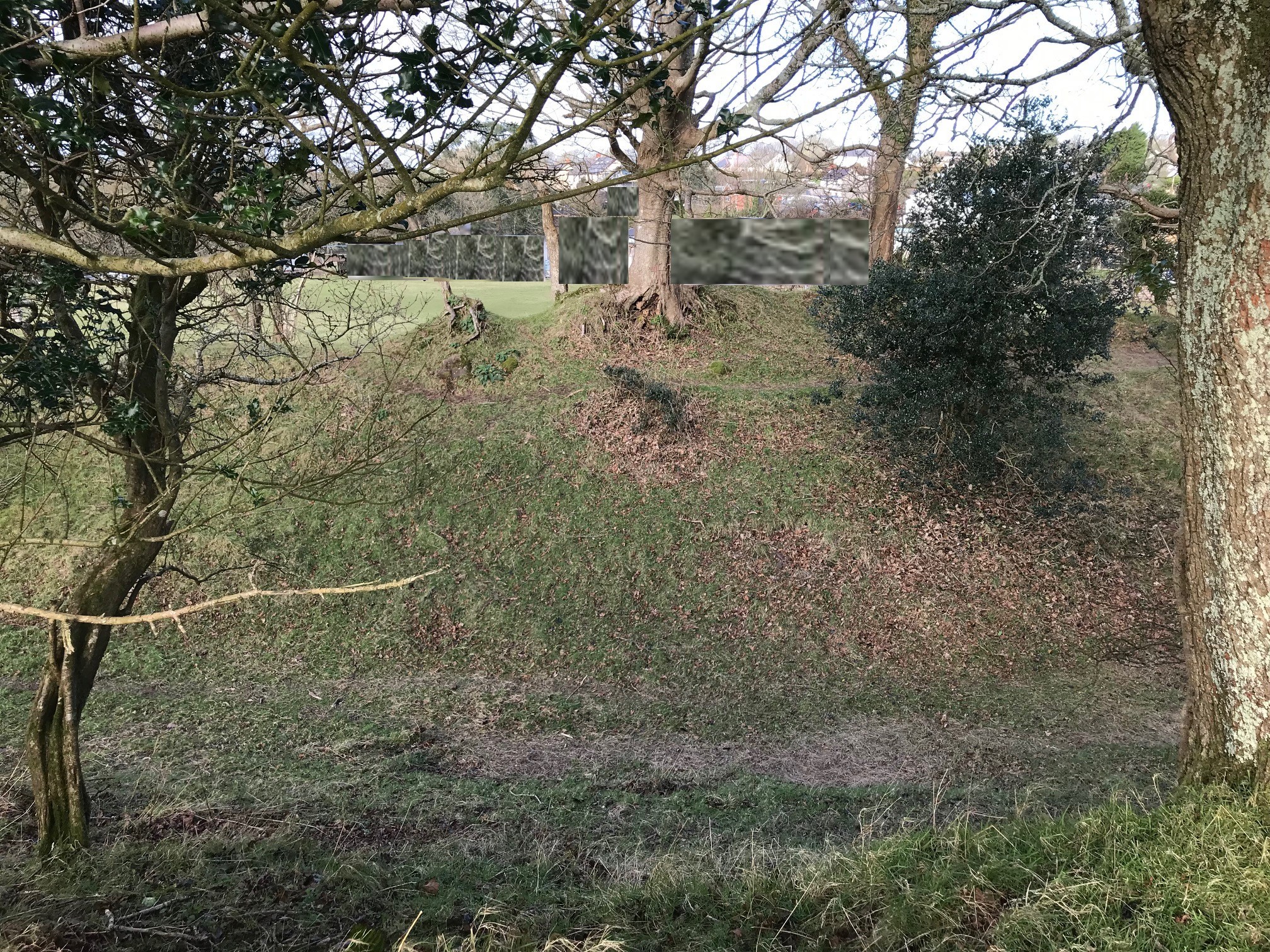
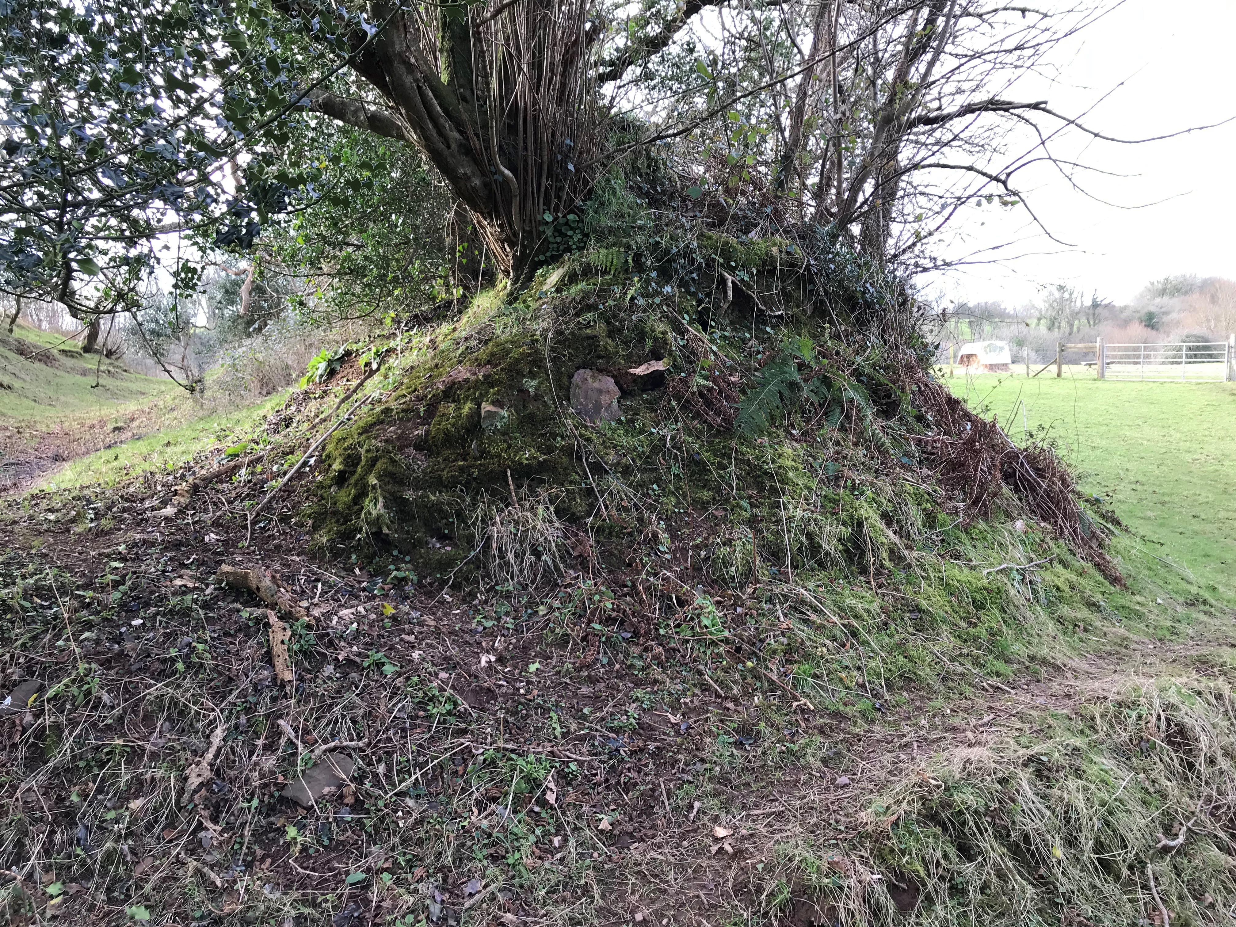
A photo taken from the plateau of the Rath showing the deep banks and ditches.
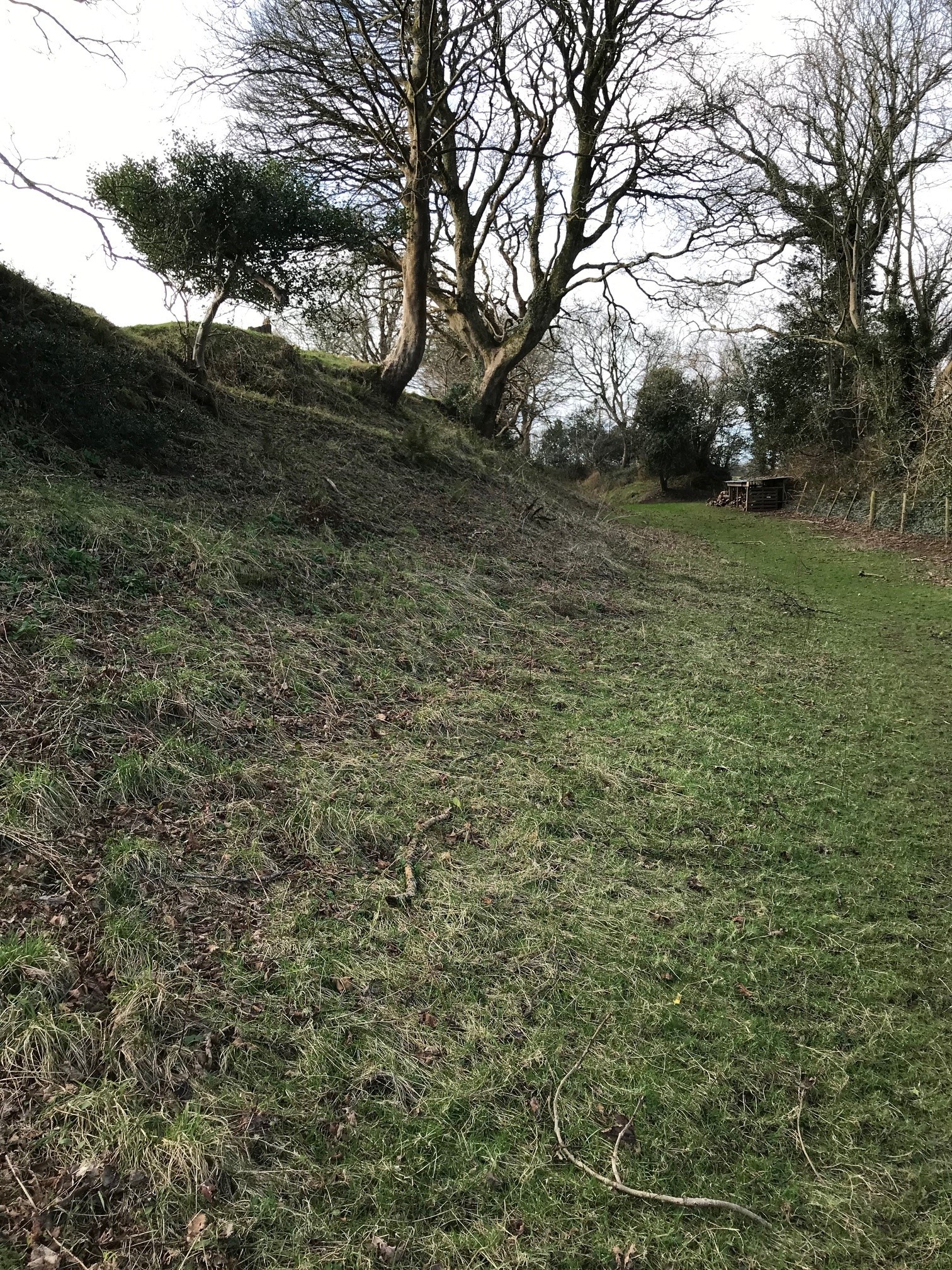
A photo taken from the first defensive ditch with the main enclosure at the top of the bank on the left.
A section through the outer defensive bank
A view of the main enclosure.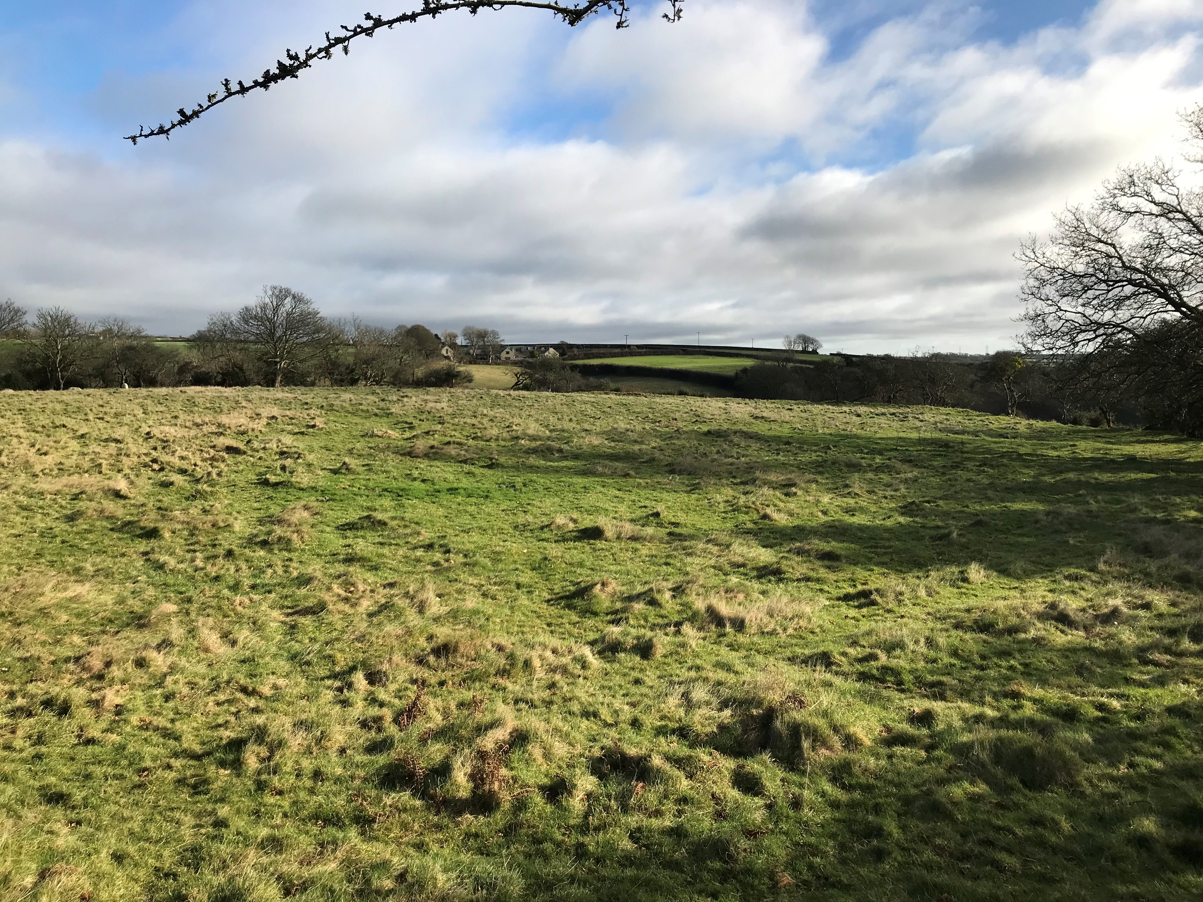
The Promontory Fort |